Britain To Be Fully Mapped in 3D by 2020
Mike Sanders / 7 years ago

Britain in 3D
When Google Maps launched, it was certainly an ambitious task and once completed, particularly at the street view level, it was highly impressive. A new project, however, has been announced which is set to cover the entirety of Britain in a 3D map.
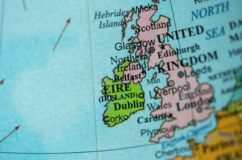
Before the end of winter, aircraft fitted with highly sophisticated laser scanners are set to fly over England. The intention is to map the entirety of Britain in a 3D map. In fairness, I have yet to determine if this includes Northern Ireland, but if I was a gambling man, I would suspect not. There is that whole ‘Irish sea’ business which I suspect will not look particularly interesting, even in 3D.
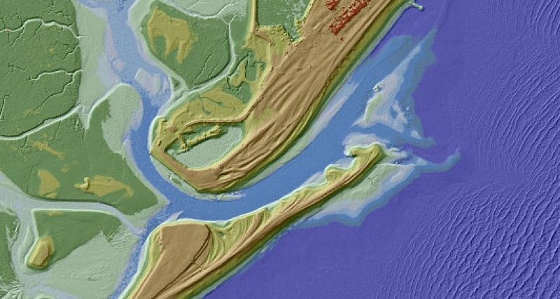
The Environmental Agency, however, plans to map 130,000 square kilometres of the country. Specifically to include rivers, parks and fields reports SkyNews.

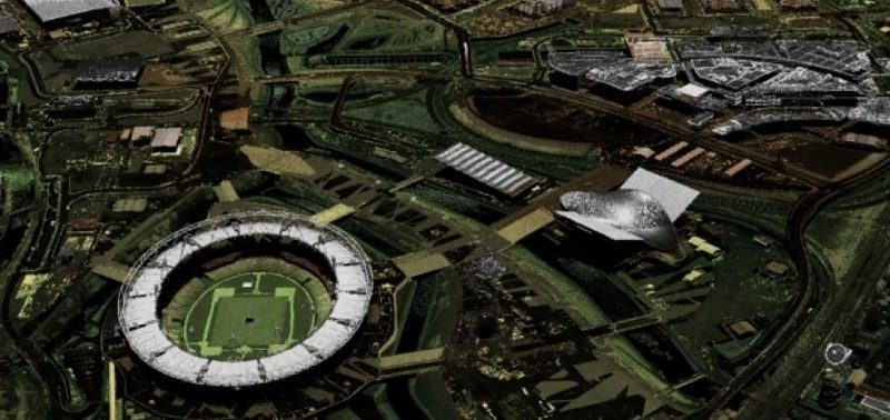
Localised example
In the above picture you can see a localised part of London which has already received the 3D camera treatment.
The overall imagery of the country is set to be improved as well with scaling as close as one meter. Which should allow us to even possibly see ourselves. You know, presumably you are looking up at the right moment.
While a nice idea, there are also some practical implementations to this as well. Firstly, it is the intention of the Environmental agency to use the mapping in an effort to attempt to predict flooding and, in addition, which solutions may be the best in a long term situation. They also hope to use the mapping to potentially uncover any as yet undiscovered Roman roads and also, and perhaps most strangely, also to monitor illegal waste tipping. Sounds weird? Well, aircraft surveillance recently uncovered a fly-tipping operation, so it has happened.
So, if you tire of exploring planets on Google Maps, at least soon you will have a 3D map of Britain to explore! Time to start arranging your lawn furniture to spell an amusing word!
What do you think? A good idea or a waste of money? – Let us know in the comments!


