Google Uses Ziplines to Showcase Amazonian Rainforests
Gabriel Roşu / 10 years ago

Google has been mapping a lot of the Globe with its Street View project. Thus far, we know it uses cars to get in and around places and map the area around streets in a 360 degree angle from the mounted camera on top of the car.
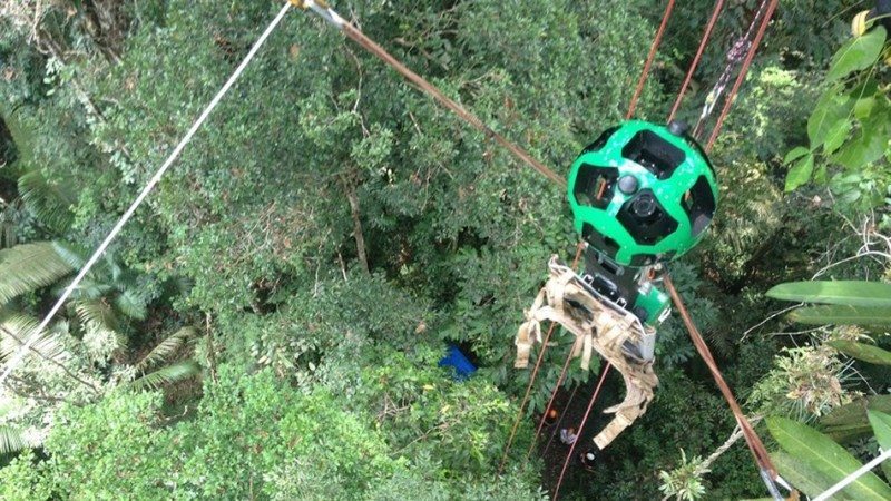
But how about the places where a car can’t go? The answer – ziplines! The latest addition to its Street Maps images comes from a partnership with the Amazonas Sustainable Foundation, who came with the idea of borrowing Google’s Trekker, Google’s special camera for capturing Street View photos, through its loan program, which lends the cameras out to nonprofits and other organizations.
“The big challenge was finding where to put the zipline,” says Karin Tuxen-Bettman, program manager for Google Earth who worked with FAS on the project. “This wasn’t an eco-tourism location where they had these sites already chosen and set up. They brought all their equipment by boat to the location and hiked several kilometers in to find this tree.”

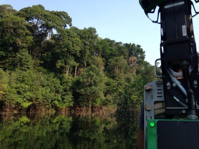
With this initiative, FAS managed to capture a part of an Amazonian rainforest from the forest floor to the upper canopy. The foundation also took the camera down the Rio Aripuanã and Rio Mariepauá rivers to highlight the communities of people who live in and around the forest and rivers.
“These people are the devoted stewards of the river and forests, and protect it by living with it, preventing the destruction of the trees and the life that depends on them,” Tuxen-Bettman wrote in a blog post.
Thank you Mashable for providing us with this information


